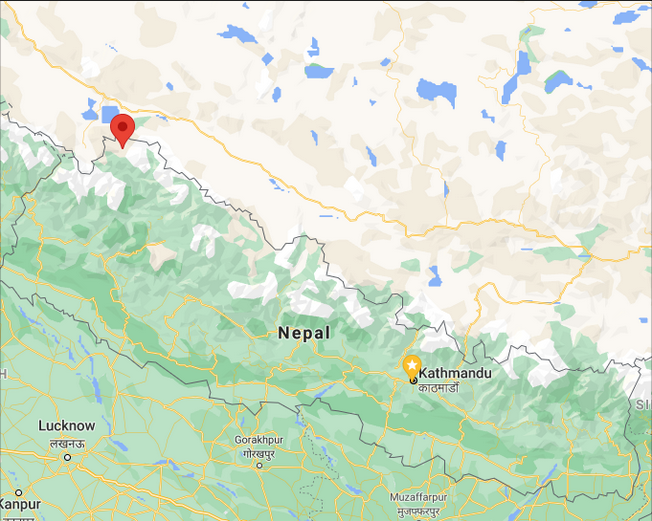
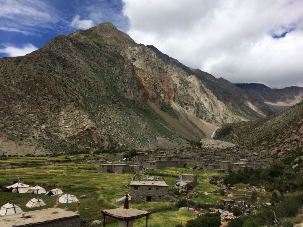
In September 2018, I received an offer from ICIMOD to cover the Nepal-China Tourism and Trade Fair to be held in Waltse village (or Halji) in the trans-Himalayan Limi valley, Humla. I had come across Limi in the course of my research, with three ideas that convinced me I had to cover the valley in All Roads Lead North:
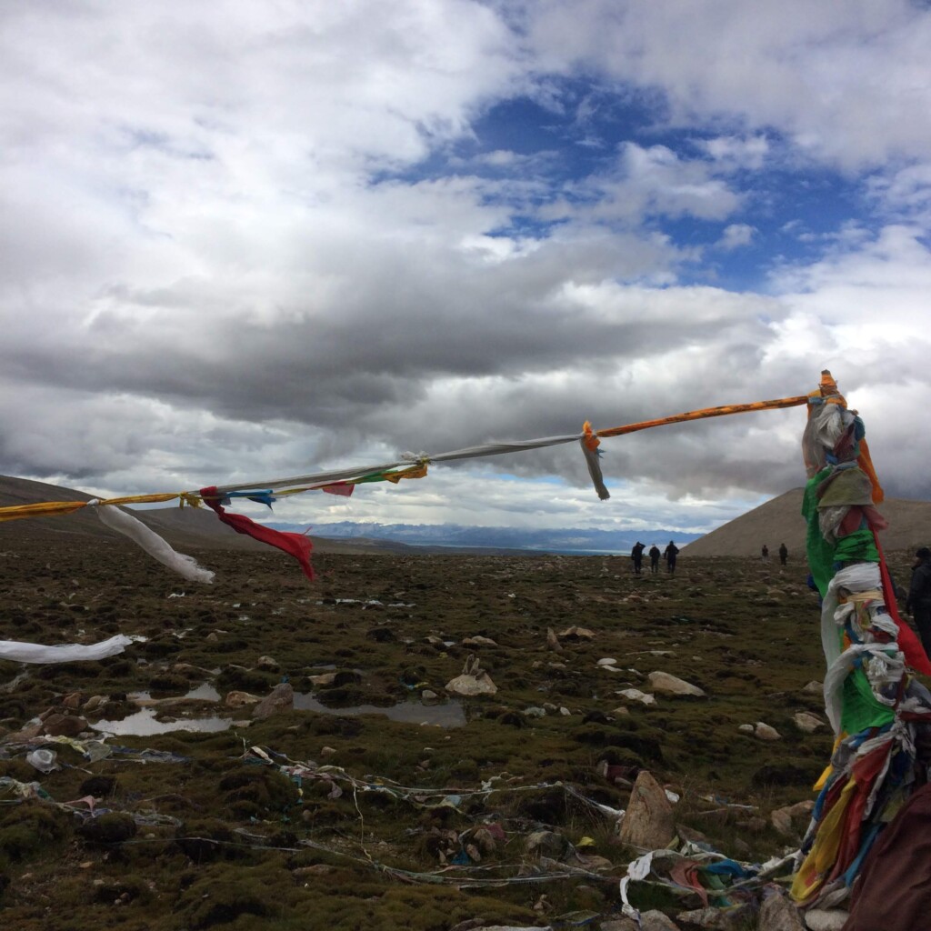
- The people of Limi valley had historically sustained themselves on transhumant pastoralism, meaning its residents would take their herds of sheep and yaks to Tibet in the winters, when the grass remained uncovered because of the wind, while Tibetan herders would bring down their flocks to Limi’s abundant kharkas, or meadows, in the summers. The traditional route they followed was down the 5,000m Lapche pass, the only place in Nepal one can see the holy peak of Kailash and Mansarovar lake. These herders would also bring down salt, wool and gold from Tibet, while carrying food grains such as rice and wheat up from the the lower hills of Nepal. Thus, Limi valley was part of an extensive network of trans-Himalayan trade, which collapsed after the closure of Himalayan borders and the import of subsidized salt from India, creating what in modern development terms would be known as a ‘poverty-stricken region’.
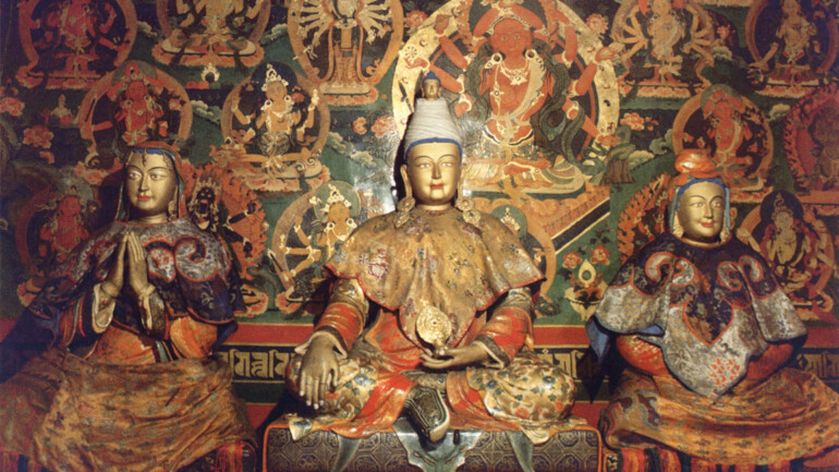
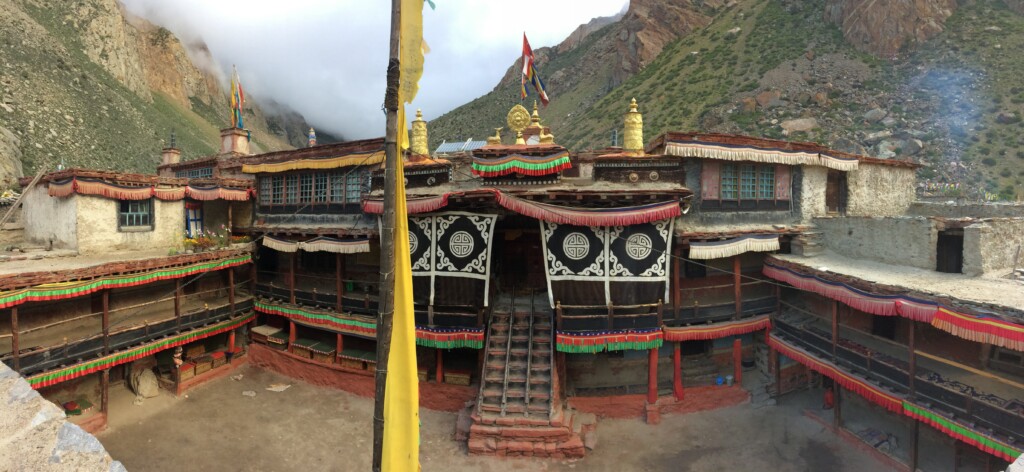
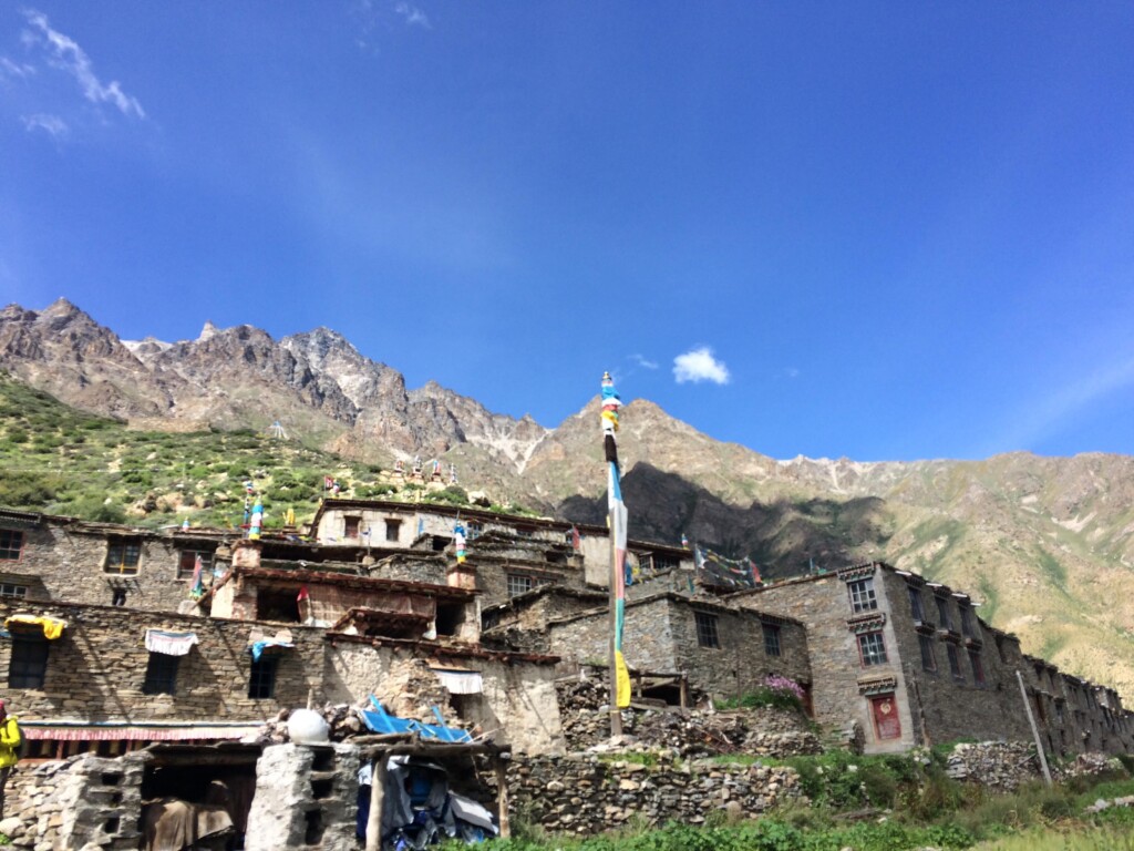
- Before modern borders, Limi valley residents owed their allegiance to both Nepali and Tibetan states. As its MP, the knowledgeable Tsewang Lama told me, ‘Waltse’s Rinchenling monastery is probably the oldest monastery in western Nepal, as well as the biggest. In olden times, the monastery was intricately linked to Tibet. There’s a monastery just before Kailash, the Gyangdrag monastery, which was damaged by the Cultural Revolution but still exists. The main Lama of the sect ruled from this monastery, and Limi, because of its religious affiliation, was ruled from there. Politically, however, Limi came under Nepal. So there was a sort of dual rule [in this valley]. Religious tax would be paid in Tibet, but the land tax would be paid in Nepal.‘ This changed in the 1960s, when Nepal and China demarcated their borders; further, China offered Limi valley elders the choice to become part of China, but an oracle suggested Limi remain in Nepal.
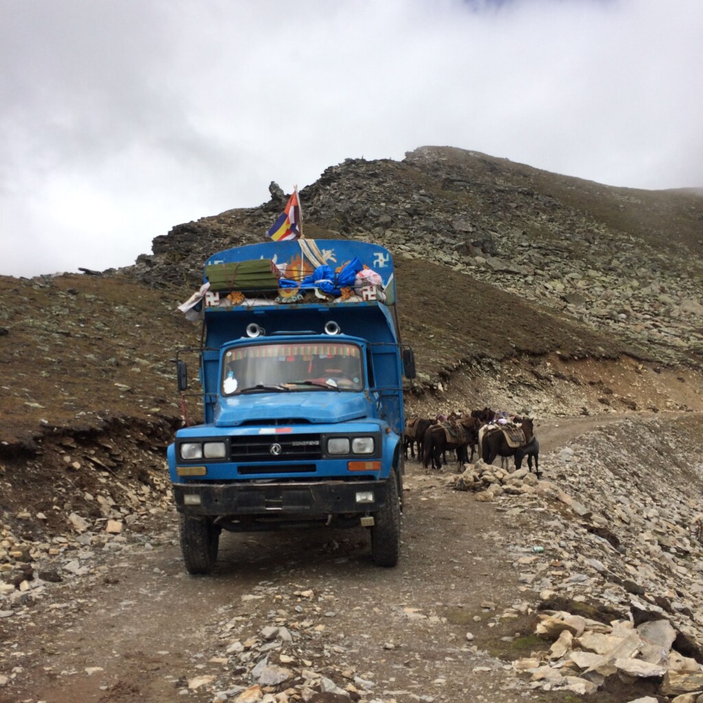
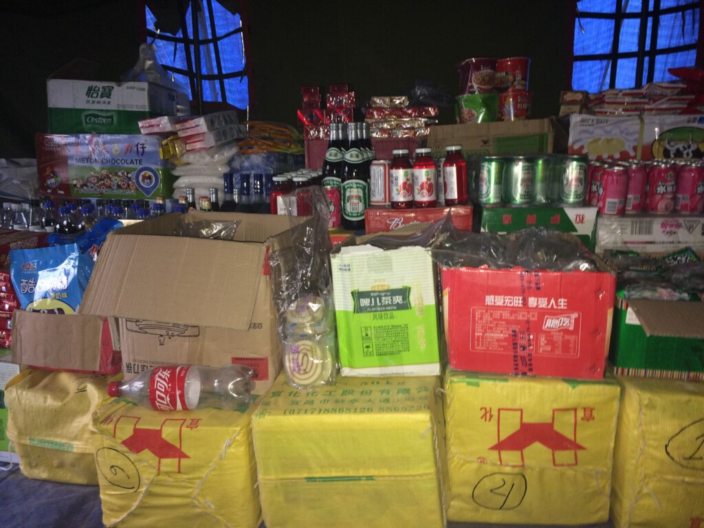
- Finally, because of China’s infrastructure investments in Tibet, towns such as Burang (or Purang or Taklakot, which is just across the border from Hilsa) had seen a revival in terms of construction and employment opportunities. Limi valley residents (and those from other parts of Humla) had been able to take advantage of this construction boom and become employed in Burang. In 2010, a road was built down from Lapche pass to Limi, thus allowing the import of necessary consumer goods to the villages via China. Development in Limi was first ‘experienced’ from the Chinese side, rather than from the Nepali side.
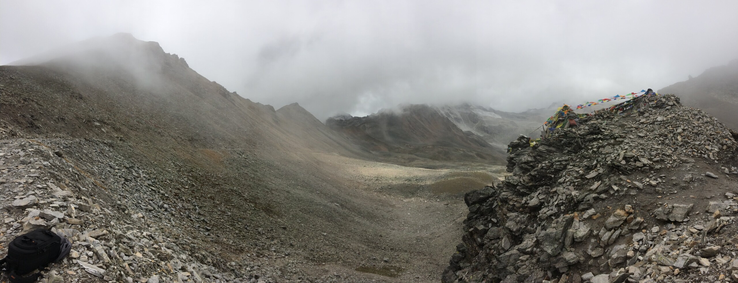
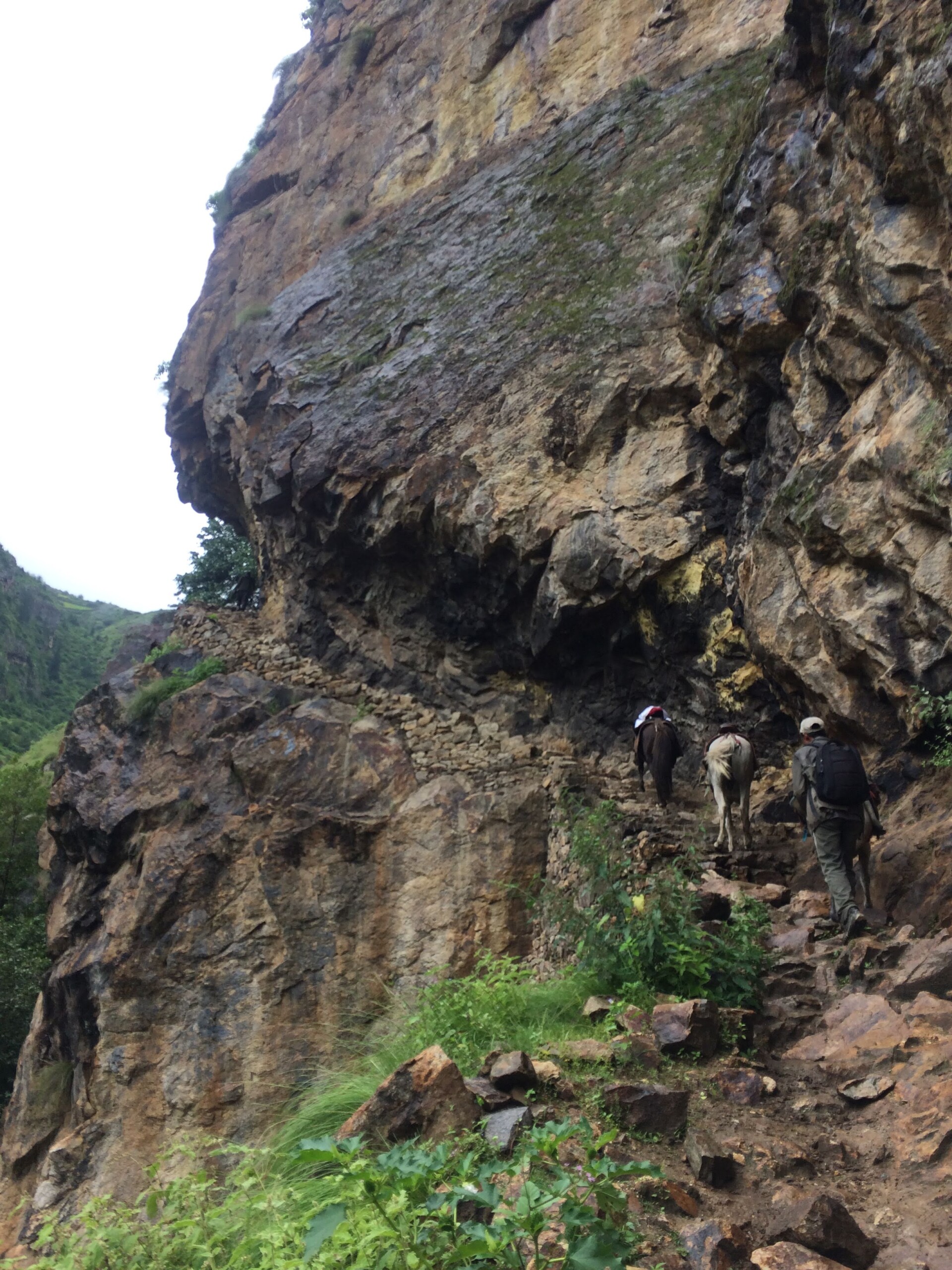
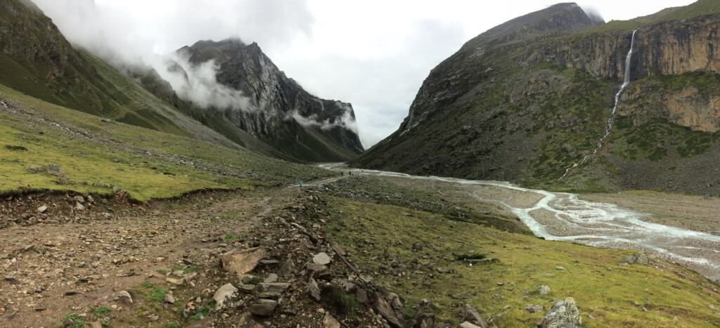
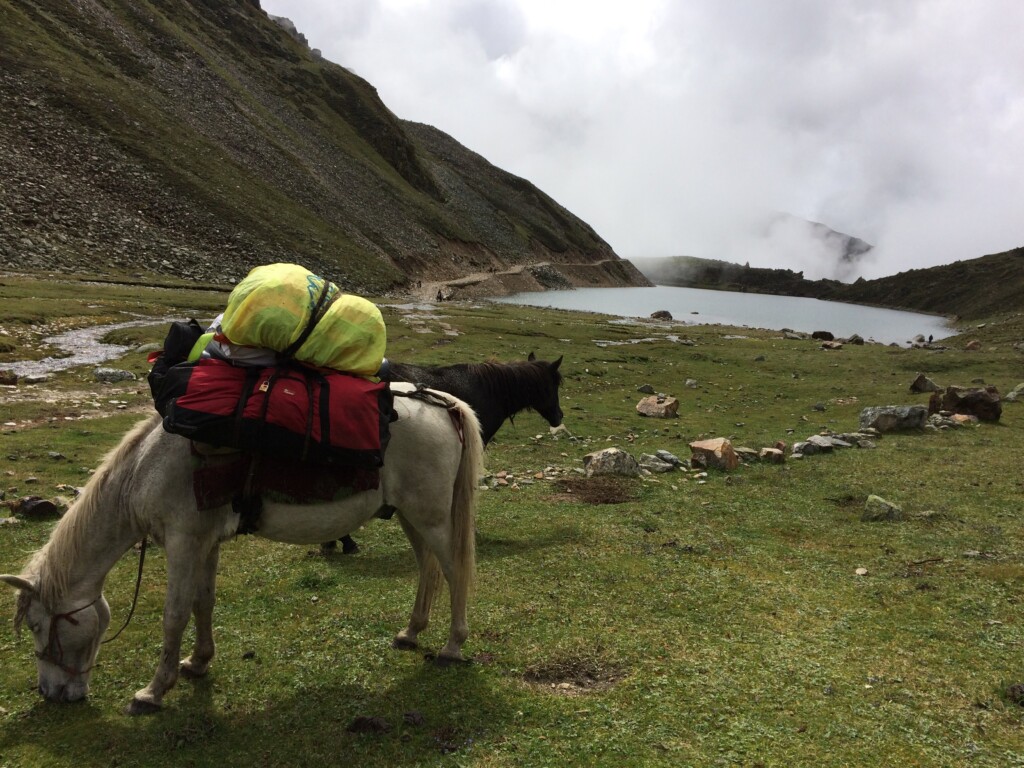
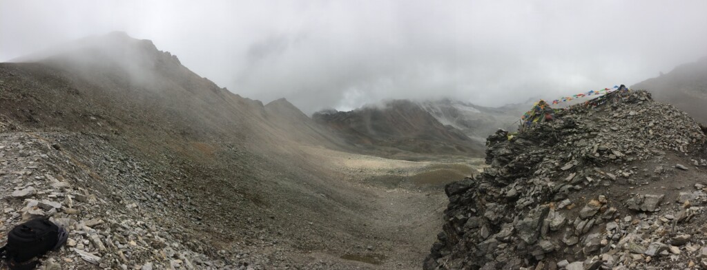
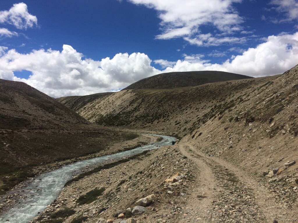
When we arrived in Simikot, the nearest airhead and the district headquarters of Humla, it was raining. The monsoons had gone on longer than expected, and we had been told the trucks that were expected to drive us to Limi could not cross the 5,000 m Nyalu pass because of landslides. So we started to walk – 20 of us outsiders, and several locals who helped us with the route and the ponies that carried our luggage. Even then, it was perhaps one of the most arduous treks I have undertaken in my life (probably because I had least expected a trek!).

If you are planning a trip to Limi, the best season is after the monsoons. You can also combine it with a trip to Kailash, if you have the endurance (and time). No mobile networks operate in Limi, so prepare to be disconnected for at least a week. Take along tents and sleeping bags, as well as adequate rain gear.
Further reading on Limi valley:
Emily T. Yeh, ‘The land belonged to Nepal but the people belonged to Tibet: Overlapping sovereignties and mobility in the Limi Valley Borderland’, Geopolitics, June 2019
Melvyn C. Goldstein, ‘A report on Limi Panchayat, Humla District, Karnali Zone’, Contributions to Nepalese Studies, vol. 2, No. 2, 1975.
Christoph von Fürer-Haimendorf, Himalayan Traders, St. Martin’s Press, New York, 1975
Martin Saxer, ‘Between China and Nepal: Trans-Himalayan Trade and the Second Life of Development in Upper Humla’, Cross-Currents: East Asian History and Culture Review, E-Journal No. 8, September 2013
Martin Saxer, ‘New Roads Old Trades’ in The Art of Neighbouring: Making Relations Across China’s Borders, eds. by Martin Saxer and Juan Zhang, Amsterdam University Press, Amsterdam, 2014
Sara B. Shneiderman, ‘Himalayan border citizens: Sovereignty and mobility in the Nepal–Tibetan Autonomous Region (TAR) of China border zone’, Political Geography, vol. 35, 2013.
Emily T. Yeh, Taming Tibet: Landscape Transformation and the Gift of Chinese Development, Cornell University Press, Ithaca and London, 2013
Interview with Tsewang Lama, “It’s difficult to govern a place if you don’t understand its ecology”, The Record, 4 November 2018